Aerial / Bird’s-Eye Views

What is Aerial/Bird’s-Eye View?

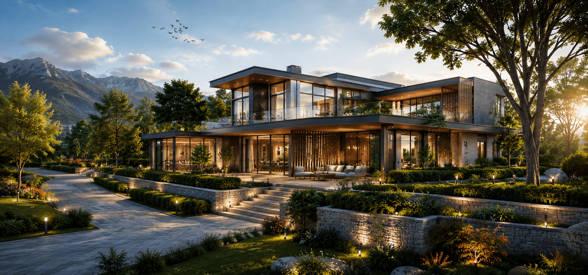
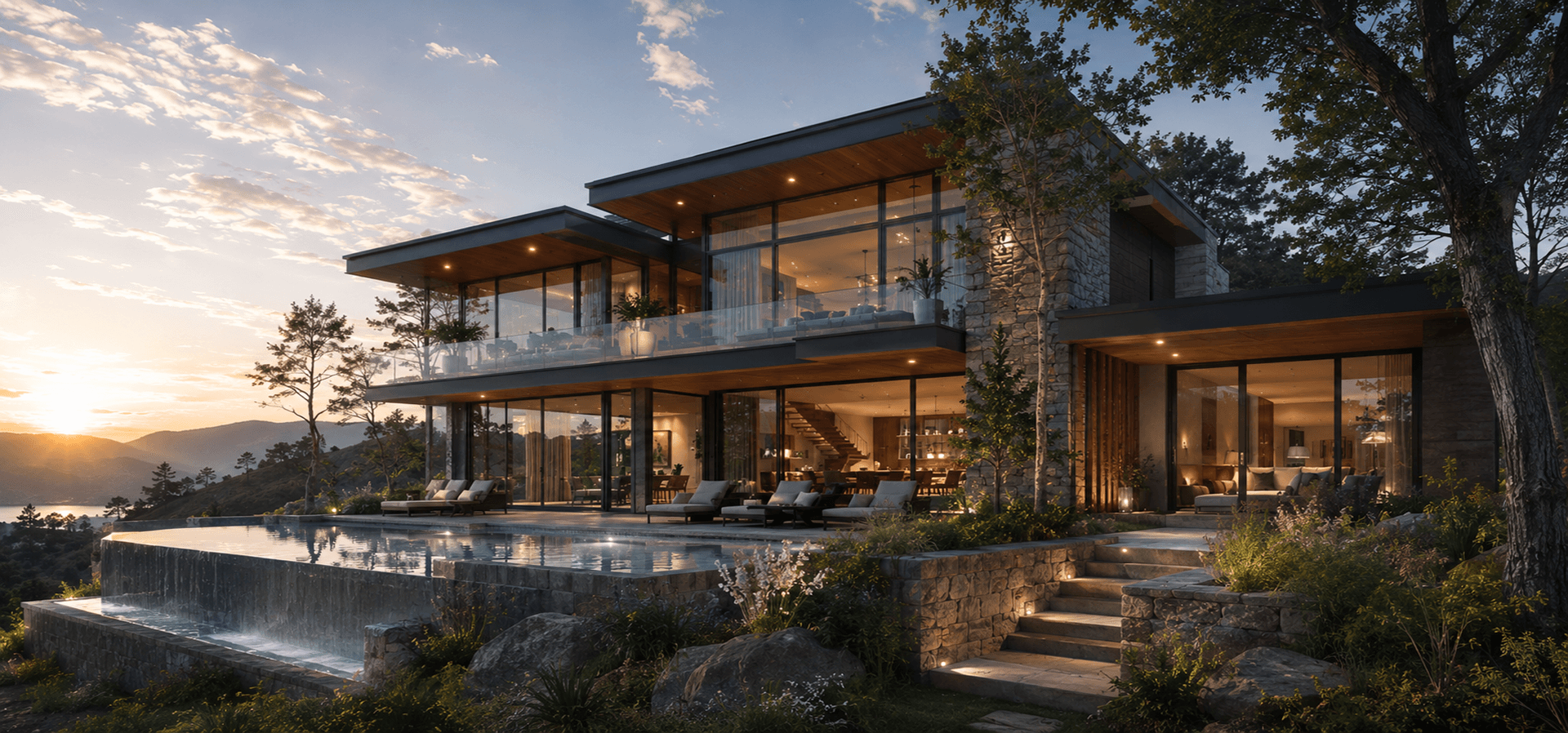
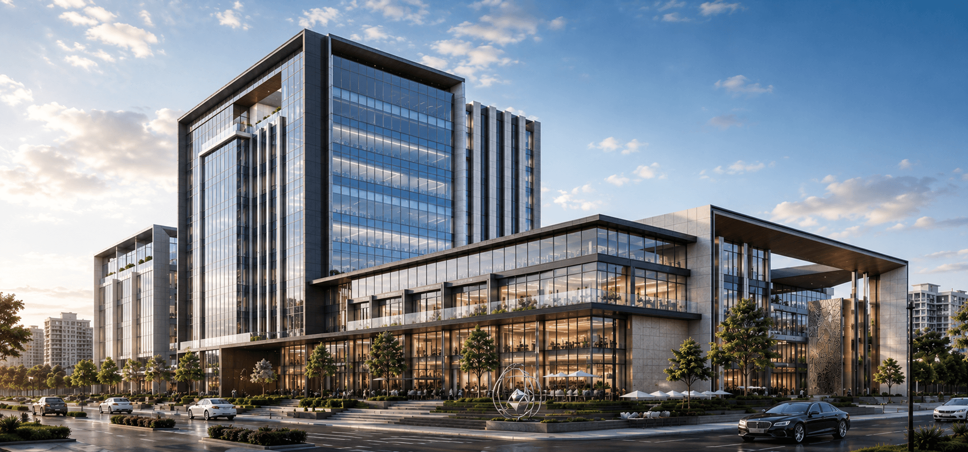
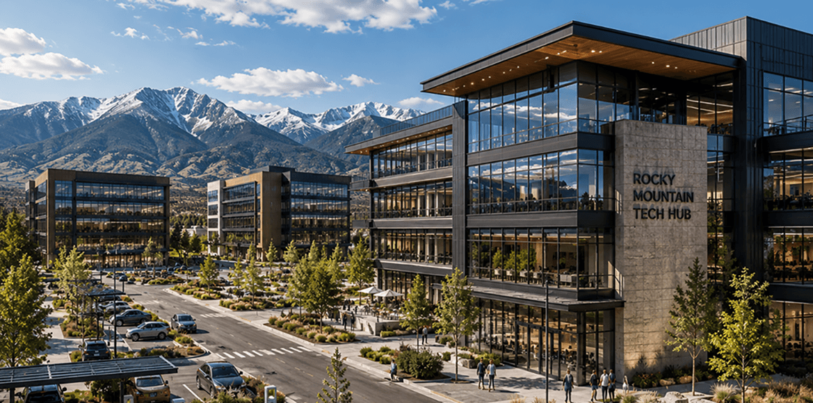
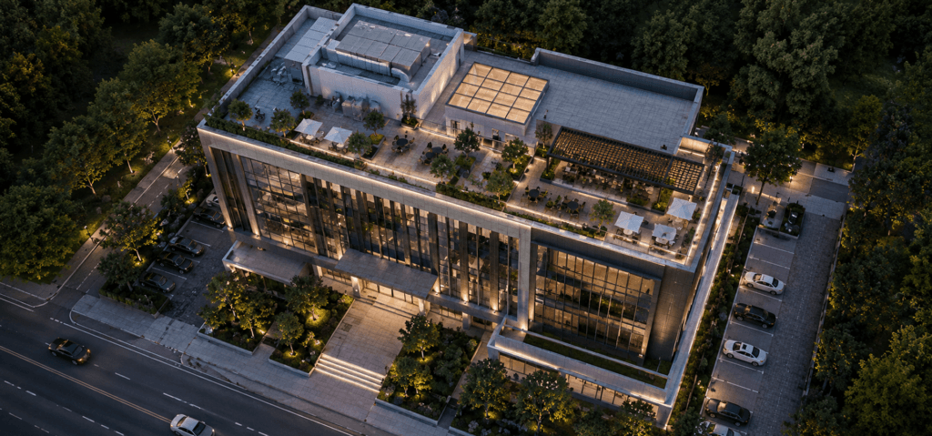
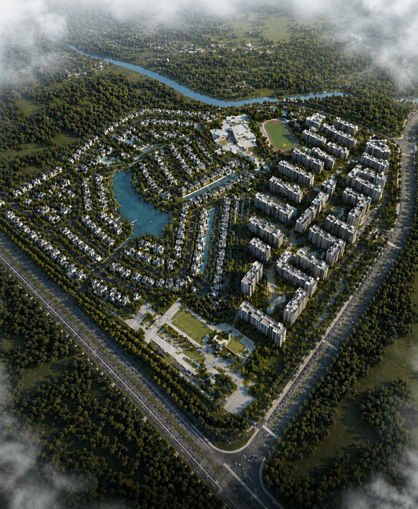
Camellia Buildtech specializes in aerial and bird’s-eye view rendering services, providing a total view that places your project into context. Our service helps designers, urban planners, builders, and marketers to envision their projects, site planning, and surroundings from above. 

We provide aerial renderings that feature site context, massing studies, landscaping, and surroundings. We provide detailed visualization solutions that can be used by designers and marketers for presentation, planning, and approval.

Project Delivered
0 +
Global Clients
0 +
Year of Experience
0 +
US-Trained Architects & Engineers
0 +

Our Services

Lorem Ipsum is simply dummy simply dummy

Benefits of Aerial/Bird’s-Eye Views Service

Photorealistic Home Visuals

Quality images that show exterior of homes with all materials used in construction and landscaping of the territory.

Contextual Site Visualizations

Renderings that demonstrate the home in the context of its surroundings, including other homes and streetscape.

Curb Appeal Views

Compelling street-level shots that highlight the home’s design, entry, and relationship to the lot.

Twilight and Night Renderings

Atmospheric images that demonstrate exterior lighting design and the home’s character after dark.

Marketing and Presentation Assets

Images prepared for brochures, websites, pitch decks, and advertising campaigns to attract buyers or investors.

Design Option Studies

Renderings used to compare different materials, colors, and design options during the development process.

Ready to Visualize Your Project?

Contact us today to discuss your project and get a free quote.

OUR WORK

Explore Recent Projects

Bring to the table win-win survival strategies to ensure proactive domination.At the end of the day, going forward, a new normal that has evolved from generation .

Why Camellia Buildtech?

Understanding of Site Planning and Urban Design
Our team is well aware of site planning and urban design concepts. We know how to articulate the connection between a building and its site in large-scale projects.
Focus on Context and Accuracy
We pay attention to precision in our aerial views. Our aerial views are based on site survey, mapping, and project drawing data.
Coordination with Project Data
We work directly from your architectural and site plans to ensure our visualizations are accurate and aligned with the project’s design intent.
Scalable Capacity
Our offshore service model enables us to take on any projects regardless of their scale - from single building analysis to extensive master plans.
Client-Focused Collaboration
We cooperate with you to identify the most important views and data to be included in the view.
Commitment to Quality
Each of our aerial views goes through thorough quality assurance to make sure that it is precise, clear, and engaging.

CLIENT TESTIMONIALS

“We needed to convert a large portfolio of legacy CAD drawings into BIM models for a new facility management system. Camellia delivered accurate, wellorganized models that integrated perfectly with our workflow. Their team was professional, and the turnaround was fast.”

Frequently Asked Questions

Difference Between a Rendering and a 3D Model
A 3D model is a computer-generated model of the geometry of the home. A rendering is an image or an animation made based on the model and materials added to it, which looks just like a photo.
What are some uses of aerial views?
Aerial views are useful for site planning, master planning, marketing, presentation, and planning applications. It helps all parties involved in a project understand how it relates to the surrounding environment.
What information is needed to produce an aerial view?
Generally, we require site plans, architectural plans, and other contextual information like buildings, roads, and terrain features.
How long does it take to create an aerial view?
Timeframes depend on the complexity of the project. One image takes 3-7 days to complete. More time may be required for multiple views. We give you an estimate of the time during project scoping.
Do you produce animation besides static images?
Absolutely! You can have a fly-through animation of your aerial view project.