
Landscape & Site Context

Architecture and Its Environment through Visual Communication

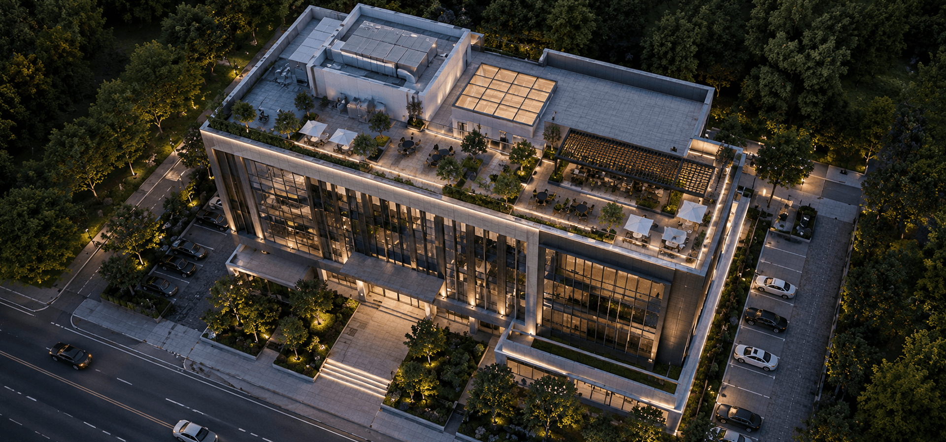
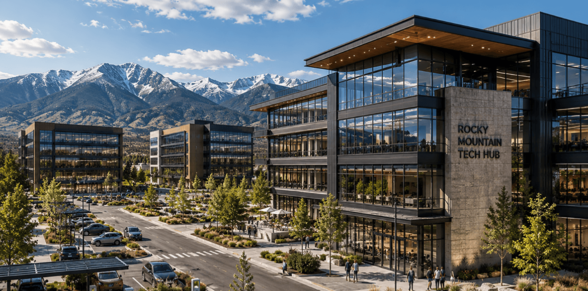
Camellia Buildtech provides professional services in Landscape and Contextual Integration to produce visual stories about how your project relates to its surroundings. Camellia Buildtech assists architects, landscape architects, developers, and planners in communicating the connections between buildings, spaces, and infrastructure. 

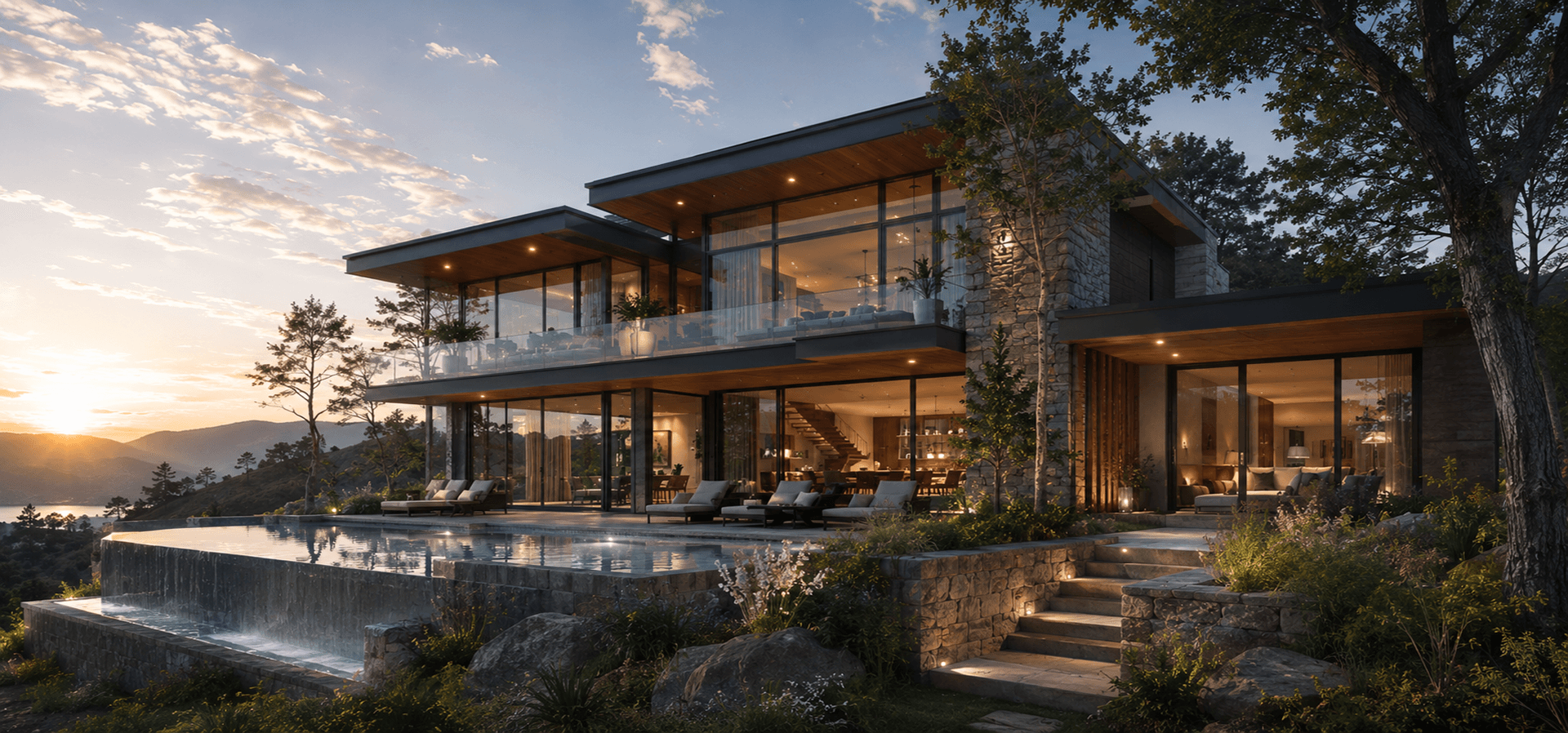
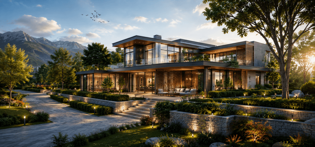
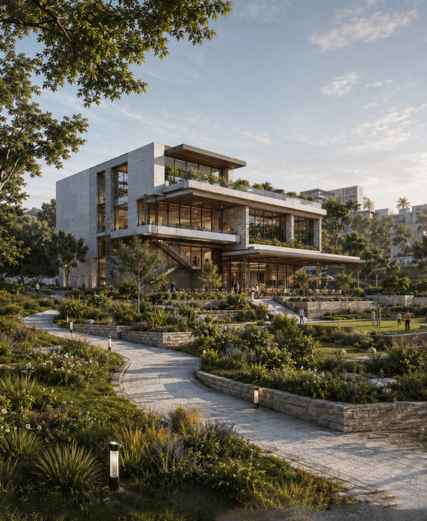
Camellia Buildtech incorporates landscape design, site features, and the contextual environment in our visuals, giving you a full view of your project within its surroundings. Regardless of whether it is a garden in a house or an elaborate park for the community, Camellia Buildtech can provide you with visuals to enhance your design decision-making, planning process, and marketing campaigns.

Project Delivered
0 +
Global Clients
0 +
Year of Experience
0 +
US-Trained Architects & Engineers
0 +

Our Services

Lorem Ipsum is simply dummy simply dummy

Benefits of Landscape and Site Context Integration Service

Contextual Site Visualization

Show the project within its surrounding environment including neighboring buildings, roads, and natural elements.

Landscape Design Integration

Show how landscape, hard-landscaping and outdoor spaces interact with the building environment.

Environmental and Sustainable Design

Communicate environmentally friendly aspects like green roofs, rain gardens, and local planting.

Public Realm and Streetscape Views

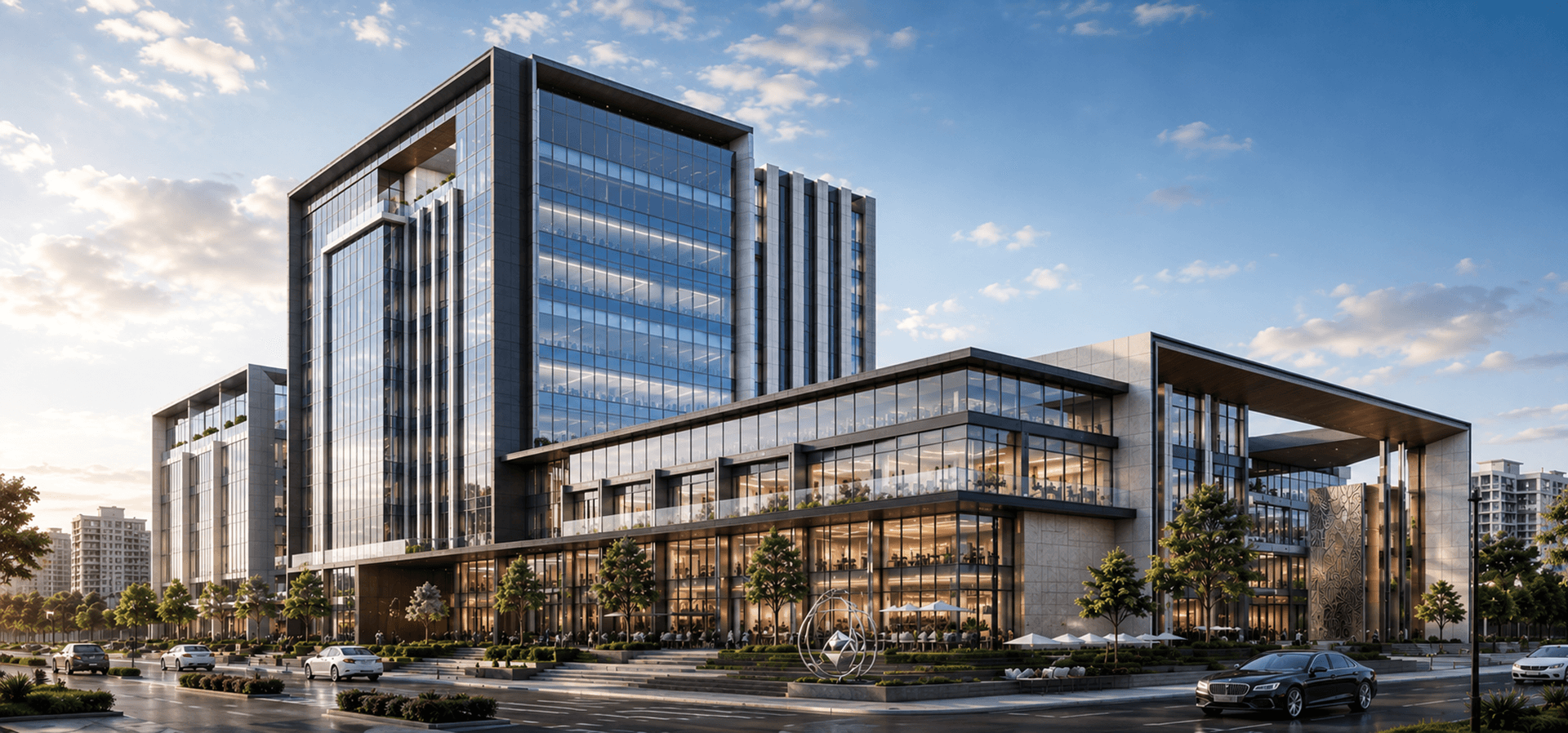
Visualize how the project fits in with the public realm and streets.

Marketing and Presentation Assets

Develop visual assets for brochures, website, pitch deck, and public consultations.

Planning and Approval Support

Provide clear visual evidence of the project’s context and design for planning submissions and public hearings.

Ready to Show Your Project in Its Complete Context?

Contact us today to discuss your project and get a free quote.

OUR WORK

Explore Recent Projects

Bring to the table win-win survival strategies to ensure proactive domination.At the end of the day, going forward, a new normal that has evolved from generation .

Why Camellia Buildtech?

Landscape & Site Planning
Our team understands the relationship between buildings and their sites. We know how to communicate design intent for outdoor spaces, grading, planting, and site infrastructure.
Focus on Realism and Context
Accuracy is essential in our visualization, which means that we use site surveys, mapping information, and project plans to develop an accurate illustration of the site and its surrounding area.
Coordination with Project Data
We work directly from your architectural, landscape, and site plans to ensure our visualizations are accurate and aligned with the project’s design intent.
Scalable Capacity
With our offshore delivery service, we can take on projects of all sizes, whether it is a residential garden or a large public space.
Client-Focused Collaboration
We cooperate with you and learn the main perspectives and the information that should be delivered through the visualization.
Commitment to Quality
Each visualization is thoroughly checked for its quality.

CLIENT TESTIMONIALS

“We needed to convert a large portfolio of legacy CAD drawings into BIM models for a new facility management system. Camellia delivered accurate, wellorganized models that integrated perfectly with our workflow. Their team was professional, and the turnaround was fast.”

Frequently Asked Questions

What is landscape and site context integration?
It involves representing the relationship between the building/development and the site, which includes landscaping, hardscaping, natural elements, and contextual surroundings.
What are some uses of these visuals?
Design development, planning applications, consultations, and marketing use them.
What information would you need?
Architectural drawings, landscaping plans, survey data, and other context data, like buildings, roads, and topography, are usually required.
How long does it take?
Timeframes depend on the complexity of the visualization. It takes 3 to 7 days to visualize one viewpoint, but a series of viewpoints will take more time. A timeline will be provided after project scoping.
Do you offer animation as well as image visualization?
Yes, we offer walk-through animations of the landscape and site context.