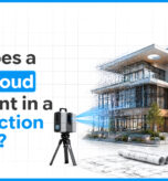
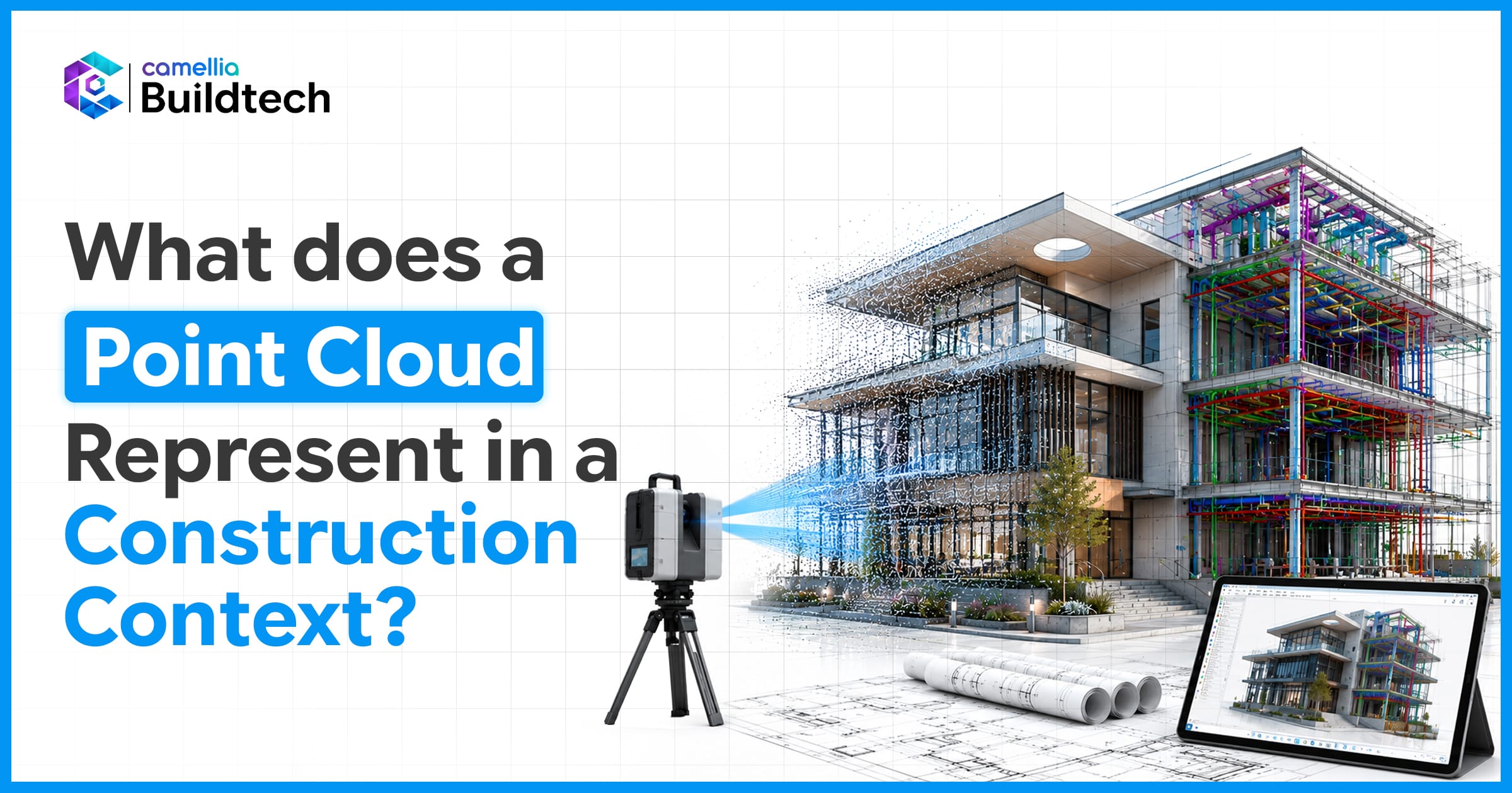

In construction, a point cloud is a digital snapshot of reality. It is a massive collection of individual data points in three-dimensional space, each with X, Y, and Z coordinates, that together create a highly detailed and accurate representation of a physical object, space, or building. Think of it as a “digital fingerprint” of a structure.
How is it created?
Point clouds are usually made using a technology called LiDAR or 3D laser scanning. A scanner sends out millions of laser pulses every second. These pulses bounce off surfaces. Come back to the device. By measuring the time it takes for each pulse to come back, the scanner figures out distances. It then builds a map of points in the environment. This process is really fast. It can capture a building’s state with millimeter-level accuracy.
The Power of a “Digital Twin”
In the construction context, this point cloud data forms the foundation for an as-built model or digital twin. Unlike 2D drawings, a point cloud gives a true-to-life, measurable, and shareable 3D picture of the existing conditions.
This level of detail is super valuable for reasons.
1. Accurate Renovations and Retrofits
One of the biggest challenges in renovation projects is the gap between design drawings and the “as-built” reality. Buildings often deviate from original plans due to field modifications or undocumented changes over time. A point cloud eliminates this guesswork by providing a precise, measurable record of a structure’s current geometry. This allows architects and engineers to design with complete confidence, knowing their new elements will fit perfectly.
2. Coordinated Design and Clash Detection
When a point cloud is added to a Building Information Modeling workflow, it becomes a tool for coordination. Teams can overlay new design models on top of the existing conditions captured in the point cloud. This is crucial for detecting “clashes”—for instance, a proposed new HVAC duct running directly through an existing structural beam. Identifying these conflicts virtually saves significant time and money by preventing costly rework on-site.
3. Quality Control and Progress Monitoring
During construction, point clouds can be captured at various stages. This helps confirm that work is being done according to plan. It provides a way to check the accuracy of installations before they are covered up. This ensures the final product matches the design. This “proactive quality control” is a bottom-line reassurance for project managers and owners.
4. Foundation for Facility Management
Once construction is complete, the point cloud data remains valuable. It serves as a permanent digital record for facility management, future maintenance, and expansions. It provides visibility of systems hidden behind walls without the need for destructive investigation.
Camellia Buildtech helps AEC firms unlock the full potential of point cloud data through specialized Scan-to-BIM services. By combining reality capture technology with a team of over 50 BIM professionals they turn raw point cloud data into high-quality BIM models. This helps clients eliminate coordination problems, reduce rework, and optimize the project lifecycle. They can turn data into a foundation for project certainty.
Frequently Asked Questions (FAQs)
1. What is the difference between a point cloud and a 3D model?
A point cloud is the raw, “un-edited” set of data points captured by a scanner. It is a dense collection of coordinates with no inherent intelligence. A 3D BIM model is a “smart” model created from a point cloud, where geometric points are converted into recognizable, parametric objects like walls, doors, and pipes with data attached to them.
2. What is the common technology used to capture point clouds?
LiDAR is the most widely used technology for construction point clouds. It is used because of its accuracy and speed. Photogrammetry is also used. Lidar is often preferred. It is preferred for its precision and reliability in measuring structures.
3. Why is a point cloud so much more useful than manual measurements?
Manual measurements take a lot of time. Can be wrong. A laser scanner can capture a building with millions of accurate data points in hours. It creates a permanent record. As one expert noted, “There’s really no going back to a tape measure and photo-based site inspection once you’ve done it with a laser scanner”.
4. Can a point cloud help identify problems before they happen on site?
Yes. This is the core benefit of clash detection. By overlaying a proposed design model onto the “as-built” reality captured in a point cloud, teams can identify and resolve conflicts (e.g., a new pipe hitting an existing beam) in the virtual model, preventing the problem from becoming a costly issue during construction.
5. How accurate are the measurements from a point cloud?
LiDAR point clouds can achieve millimeter-level accuracy. They are more reliable than traditional manual measurements. This extreme precision is critical for tasks like steel erection and complex MEP layouts. LiDAR technology helps ensure accuracy. It provides a way to capture point clouds. Point clouds are essential for construction projects. They help teams work efficiently.